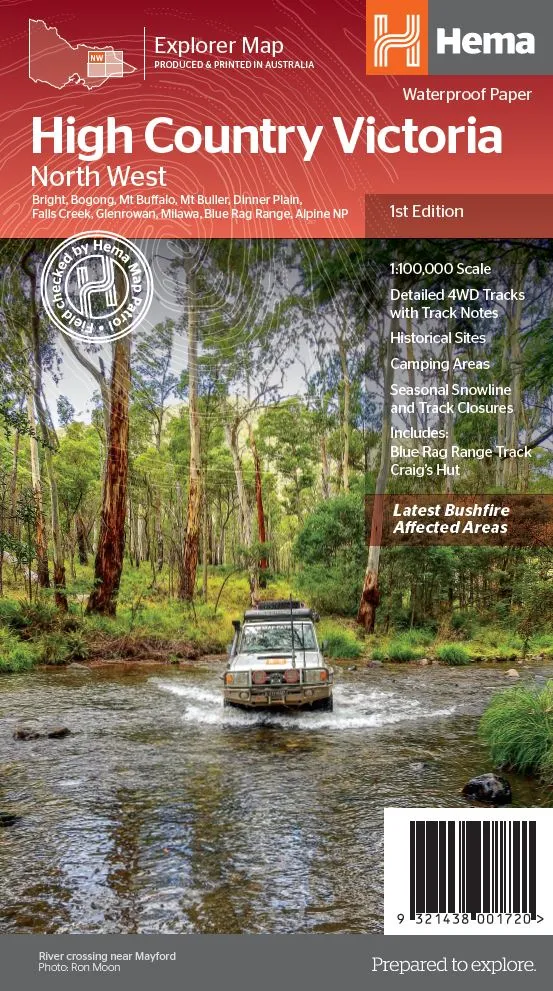
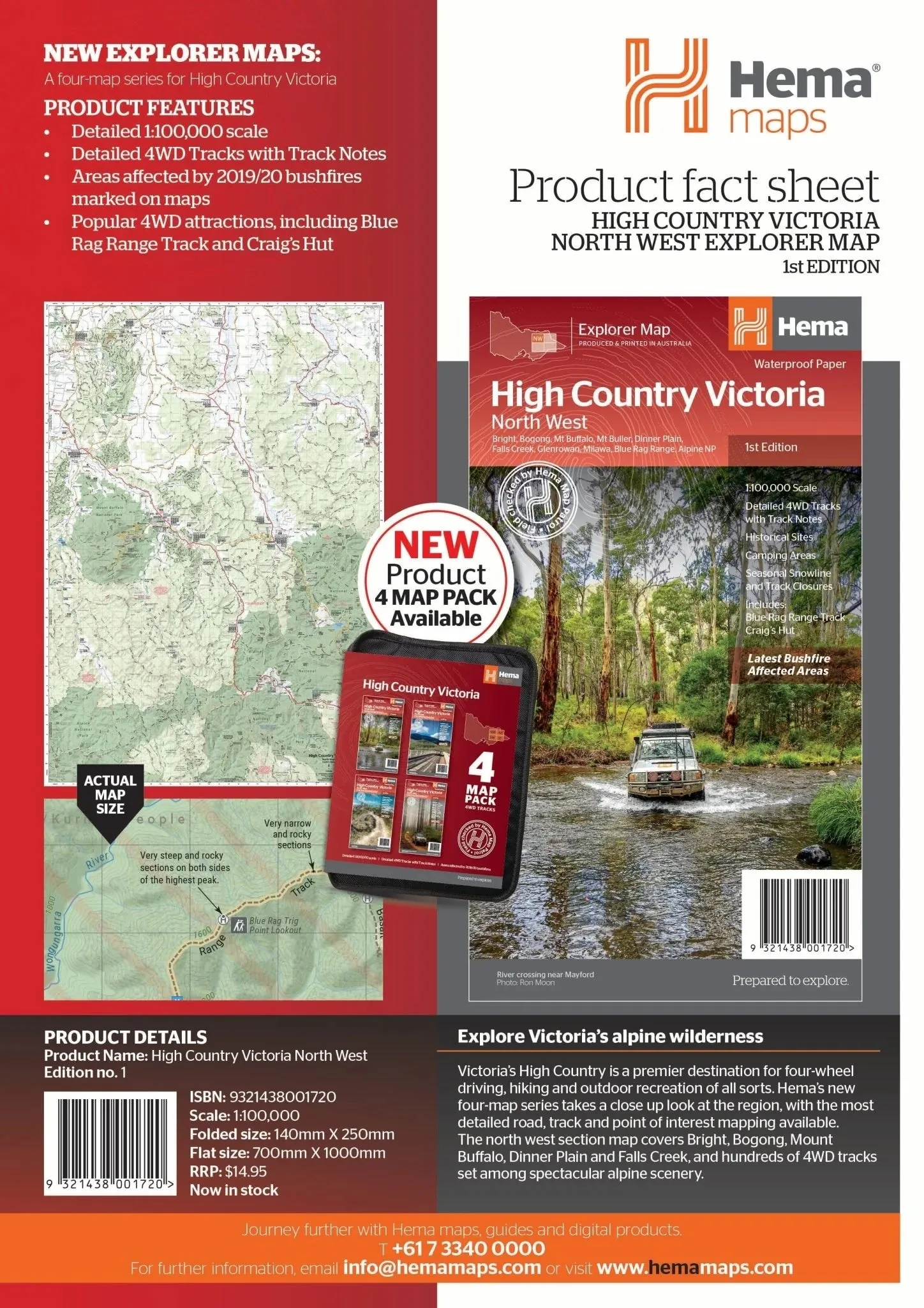

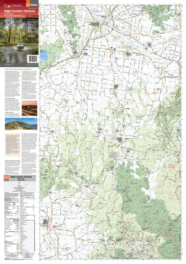
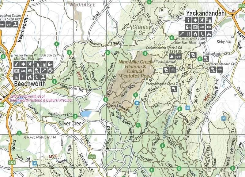
Victorian High Country Map - North-Western Alps (1st Edition)
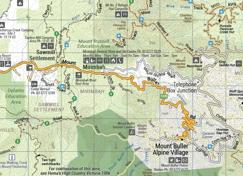
Part of Hema’s new Victorian High Country Map Series, this map is your ultimate guide to the North-Western Alps region. Covering iconic destinations like Bright, Bogong, Mount Buffalo, Dinner Plain, and Falls Creek, it offers unparalleled detail for exploring hundreds of 4WD tracks amid breathtaking alpine scenery. Printed on durable waterproof paper, this map ensures accurate navigation, thanks to roads and tracks field-checked by the Hema Map Patrol.
Features
- Detailed 4WD tracks with notes and key routes like Blue Rag Range Track & Craig’s Hut
- Historical sites and old townsites
- Campsites, huts, and accommodation options
- Road distances and topographic details
- Seasonal snowline and track closures marked
- Includes the latest bushfire-affected areas
- Points of interest for touring and outdoor recreation
Key Specifications
- Edition: 1st
- Publication Date: 15/10/20
- Scale: 1:100,000
- Folded Size (WxHxD): 140mm x 250mm x 3mm
- Flat Size (WxH): 700mm x 1000mm
- Weight: 0.09kgs
This map is the perfect companion for four-wheel driving, hiking, and outdoor adventures. With marked seasonal closures, detailed route notes, and topographic precision, it ensures you experience the best of the Victorian High Country safely and efficiently.
About Hema Maps:
Hema Maps is a trusted leader in cartography, renowned for its accuracy and reliability. Field-checked by the Hema Map Patrol, their products provide adventurers with the most up-to-date information, making them essential for exploring Australia’s diverse landscapes.


